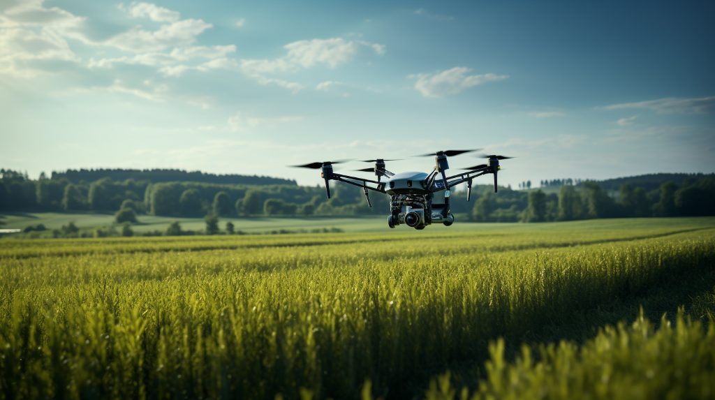
Flying Robots: A New Frontier

Drones, also known as unmanned aerial vehicles (UAVs), have become increasingly popular not only for recreational purposes but also for their numerous practical applications. From aerial photography and videography to search and rescue missions, these flying robots are revolutionizing various industries. However, as the number of drones in the sky continues to soar, ensuring their security and safety is becoming a pressing concern.
The Challenge of Drone Security
With drones becoming more accessible and affordable, it is important to address the potential risks they pose. From endangering manned aircraft to invasions of privacy and even acting as a tool for criminal activities, the need for effective drone security measures is undeniable. This is where GNSS, or Global Navigation Satellite Systems, step in to serve as the guardians of the air.
What is GNSS?
At its core, GNSS is a system of satellites that provides precise positioning, navigation, and timing information to receivers on the ground, in the sky, or even underwater. The most well-known GNSS system is the Global Positioning System (GPS), developed and maintained by the United States government. However, there are also other notable systems, such as Russia’s GLONASS, Europe’s Galileo, and China’s BeiDou Navigation Satellite System (BDS).
The Role of GNSS in Drone Security
When it comes to drone security, GNSS plays a crucial role in ensuring safe and reliable operations. By utilizing GNSS receivers, drones are able to determine their precise location, altitude, speed, and heading. This not only enables them to navigate accurately but also allows for the implementation of various security measures.
1. Geofencing
One of the key features of GNSS for drone security is geofencing. Geofencing involves creating virtual boundaries in the sky, which drones are programmed to adhere to. If a drone equipped with GNSS receivers attempts to fly beyond these predetermined boundaries, it can be automatically alerted or even prevented from entering restricted areas. This helps in preventing potential collisions with manned aircraft and ensures drones stay within authorized zones.
2. Anti-Jamming and Spoofing

Another critical aspect of GNSS in drone security is its ability to combat signal interference. GNSS signals can be vulnerable to jamming, where malicious actors intentionally disrupt the reception of the signals, or spoofing, where false signals are broadcasted to deceive the drone’s navigation system. By employing advanced anti-jamming and anti-spoofing techniques, GNSS receivers can help drones detect and mitigate these threats, maintaining their safety and security.
Challenges and Future Developments
While GNSS serves as a valuable tool for drone security, there are challenges that need to be addressed. The proliferation of cheap and easy-to-use GPS jammers poses a significant threat. Additionally, the small size and limited power of drone GNSS receivers can make them more susceptible to signal disruptions.
To overcome these challenges, researchers and engineers are actively working on enhancing anti-jamming capabilities, improving GNSS receiver performance in challenging environments, and exploring hybrid systems that fuse GNSS with other complementary technologies like computer vision and radar.
Conclusion
As drones continue to revolutionize industries and become an integral part of our daily lives, ensuring their security becomes paramount. GNSS, with its precise positioning and navigation capabilities, plays a vital role in safeguarding the skies. By utilizing geofencing, anti-jamming, and anti-spoofing techniques, GNSS helps maintain the safety, integrity, and accountability of drones. As technology advances, we can look forward to even more sophisticated solutions that will continue to protect our airspace and privacy, making GNSS the true guardians of the air.
