Technology has revolutionized the way we interact with the world, and one area that has particularly seen dramatic advancements is geospatial technology. Geospatial technology involves the collection, analysis, and presentation of data about the Earth’s surface and its various features. When combined with the power and versatility of drones, these technologies open up a world of possibilities.
The Rise of Geospatial Technologies

Geospatial technologies have come a long way since their inception. Early maps were hand-drawn, providing limited information and often lacking accuracy. This all changed with the advent of Geographic Information Systems (GIS) in the 1960s. GIS allowed for the integration of diverse data sources, making it easier to analyze and visualize spatial data.
Today, geospatial technologies have become an indispensable tool for a wide range of industries. From urban planning and environmental management to transportation and disaster response, the applications are vast. With the inclusion of drone technology, the possibilities have expanded even further.
The Power of Drones in Geospatial Applications
Drones, or unmanned aerial vehicles (UAVs), have gained popularity in recent years for their ability to capture high-resolution imagery and collect geospatial data from a bird’s-eye view. Equipped with specialized cameras and sensors, drones can gather data more efficiently and cost-effectively than traditional methods.
One of the main advantages of drones is their ability to access hard-to-reach areas, such as rugged terrains, disaster zones, or construction sites. They can quickly and safely navigate through these environments, capturing data that would otherwise be challenging or dangerous for humans to collect.
Drones can be outfitted with a range of sensors, including thermal cameras, multispectral cameras, LiDAR, and GPS. These sensors allow for the collection of various geospatial data types, such as aerial imagery, 3D models, vegetation indices, and elevation data. This wealth of information can be processed and analyzed using GIS software, providing valuable insights for decision-making and planning.
Applications of Geospatial Technologies and Drones
The applications of geospatial technologies and drone technology are extensive and continually expanding. Let’s explore some key areas where these technologies are making a significant impact:
1. Environmental Monitoring and Conservation

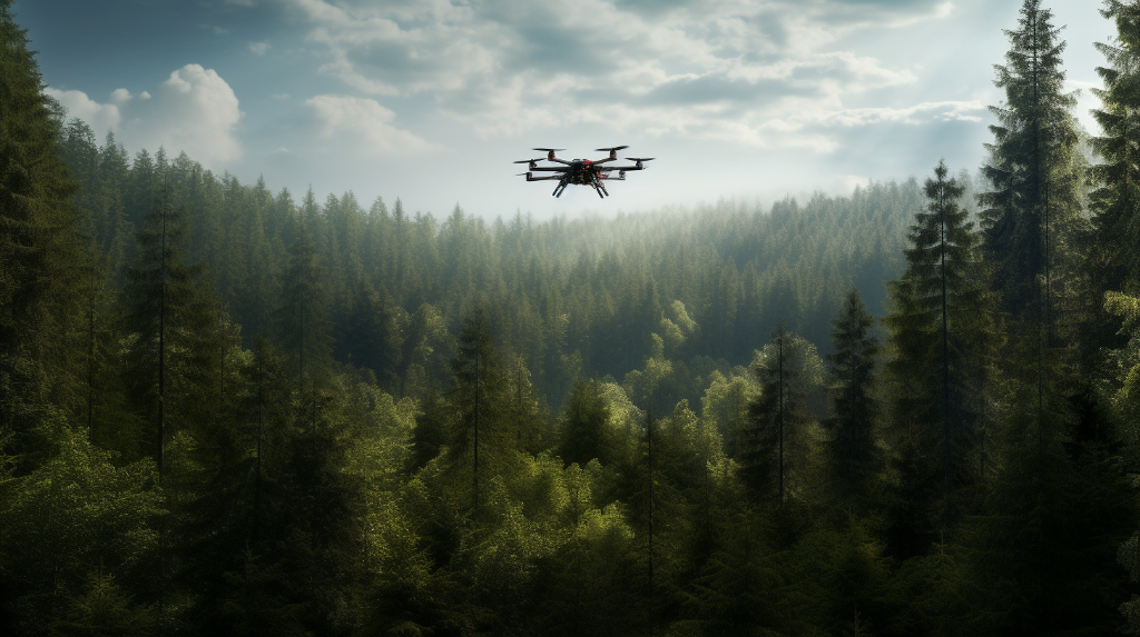
Geospatial technologies and drones play a crucial role in monitoring and conserving our environment. By collecting aerial imagery and data, scientists can track changes in land cover, identify deforestation patterns, and monitor wildlife populations. This information is vital for designing effective conservation strategies and mitigating the impacts of climate change.
2. Urban Planning and Infrastructure Development
In urban planning, geospatial technologies provide essential data for designing sustainable cities and optimizing infrastructure development. Drones can capture detailed aerial imagery, map terrain characteristics, and detect patterns of urban growth. Planners can use this information to assess the impact of proposed projects, improve transportation networks, and enhance disaster preparedness.
3. Agriculture and Precision Farming

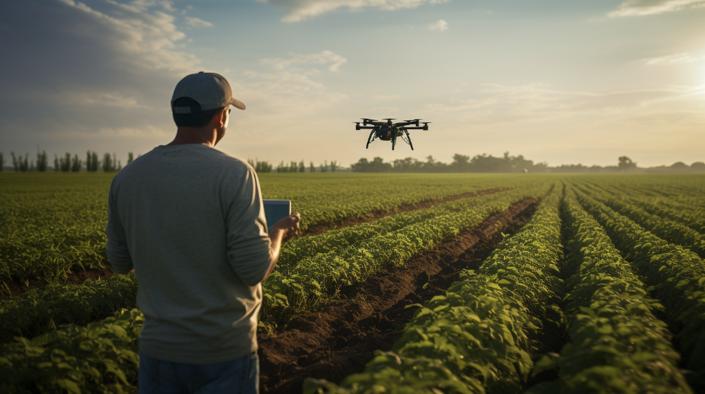
Geospatial technologies and drones have revolutionized the agriculture industry by enabling precision farming practices. Drones equipped with multispectral cameras can analyze crop health, detect nutrient deficiencies, and identify areas requiring irrigation. Farmers can use this data to optimize fertilizer usage, save water, and increase crop yields.
4. Disaster Response and Emergency Management
During natural disasters or emergencies, geospatial technologies and drones are invaluable tools for response and recovery efforts. Drones can swiftly assess damage, search for missing persons, and create real-time maps of affected areas. This data facilitates efficient resource allocation, aid distribution, and post-disaster reconstruction planning.
5. Archaeological Survey and Cultural Heritage Preservation
Geospatial technologies are transforming the field of archaeology by revolutionizing surveying and mapping techniques. Drones equipped with LiDAR technology can create highly detailed 3D models of archaeological sites, revealing hidden features and aiding in documentation and preservation. This technology helps researchers better understand our cultural heritage and plan effective conservation measures.
Conclusion
The combination of geospatial technologies and drone applications has opened up a world of possibilities, transcending borders and providing valuable insights into our environment, infrastructure, agriculture, and culture. As these technologies continue to advance, their potential to transform industries and drive innovation is boundless. Embracing these technologies and harnessing their power will undoubtedly shape the future in remarkable ways.
