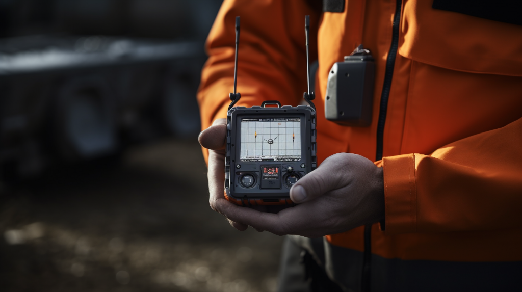
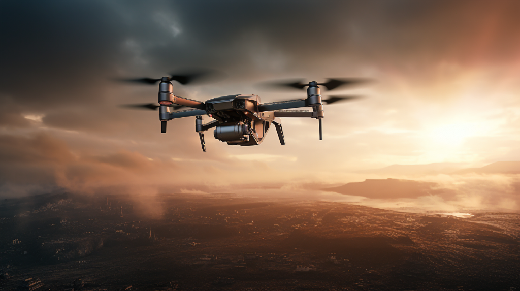
Have you ever wondered how drones are able to fly precisely and navigate through the skies with ease? The answer lies in a technology called Global Navigation Satellite Systems (GNSS). In this article, we will dive into the world of GNSS and explore how it plays a crucial role in drone navigation. So fasten your seatbelts and get ready for an exciting journey into the world of aerial navigation!
What is GNSS?

Let’s start with the basics. GNSS is a global navigation system that allows users to determine their precise location and navigate from one point to another. This technology relies on a network of satellites orbiting the Earth, constantly transmitting signals that can be picked up by receivers on the ground or in the air.
The most well-known GNSS system is the Global Positioning System (GPS) developed by the United States. However, there are also other GNSS systems such as the Russian GLONASS, the European Galileo, and the Chinese BeiDou. These systems work together to provide accurate positioning and navigation services worldwide.
How does GNSS work?
Now that we know what GNSS is, let’s explore how it actually works. GNSS relies on a technique called trilateration. This technique involves measuring the distance between the user’s receiver and multiple satellites in order to determine the user’s precise location.
The satellites in the GNSS system continuously transmit signals that contain information about their position and the exact time the signal was transmitted. The receiver on the ground or in the drone picks up these signals and calculates the distance between itself and the satellites using the time it took for the signal to travel.
By measuring the distance from at least four satellites, the receiver can then determine its exact three-dimensional position on Earth’s surface. This information is crucial for accurate navigation, whether it’s for a car, boat, or drone.
Applications of GNSS in Drone Navigation
So, how exactly does GNSS come into play when it comes to drone navigation? Drones rely on GNSS technology to determine their precise location in real-time, allowing them to navigate autonomously or follow a pre-programmed flight path.
Here are some key applications of GNSS in drone navigation:
1. Autonomous Flight:

GNSS enables drones to fly autonomously by providing accurate positioning data. Drones equipped with GNSS receivers can navigate from one point to another using GPS coordinates. This is particularly useful in situations where manual control is not feasible or where a drone needs to fly long distances for surveillance or delivery purposes.
2. Waypoint Navigation:
GNSS allows drones to follow pre-defined flight paths known as waypoints. Pilots can program the drone to fly to specific GPS coordinates, controlling the altitude, speed, and direction along the way. This is particularly useful for aerial photography, mapping, or inspections where precise flight paths are required.
3. Geofencing:
Geofencing is a technique used to create virtual boundaries around a specific area. Drones equipped with GNSS can be programmed to operate within defined geofenced areas. If a drone ventures outside the predefined boundaries, it can trigger automatic actions such as returning to a safe zone or sending alerts to the operator. This feature ensures the safety and security of drones in restricted areas.
The Limitations of GNSS
While GNSS is an incredibly powerful technology, it is not without its limitations. Here are some factors that can affect the accuracy and reliability of GNSS signals:
- Signal Interference: Buildings, trees, and other objects can obstruct the signals from satellites, leading to inaccuracies in positioning.
- Atmospheric Conditions: Extreme weather conditions or atmospheric disturbances can affect the quality of GNSS signals.
- Satellite Availability: In some areas or situations, there may not be enough satellites visible to provide accurate positioning.
- Multipath Interference: When GNSS signals bounce off reflective surfaces, they can create additional signals that can interfere with accurate position calculations.
Despite these limitations, GNSS remains a fundamental technology for drone navigation, providing invaluable capabilities for both recreational and commercial applications.
In Conclusion
Global Navigation Satellite Systems (GNSS) are the backbone of modern drone navigation. By leveraging signals from satellites, drones are able to determine their precise location in real-time, allowing for autonomous flight, waypoint navigation, and geofencing capabilities. While there are limitations to GNSS, its impact on the world of drones is undeniable. So the next time you see a drone gracefully flying through the skies, remember that GNSS is the invisible force that guides it safely on its journey.
