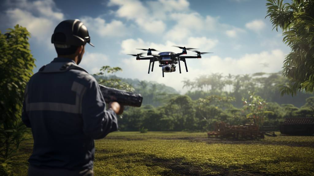
Welcome to the fascinating world of precision aerial mapping! Today, we will take a deep dive into the technologies and techniques behind this groundbreaking field. Specifically, we will focus on the incredible combination of Global Navigation Satellite Systems (GNSS) and drone surveys, which have revolutionized the way we acquire accurate mapping data.
The Power of GNSS
At the heart of precision aerial mapping is GNSS, a constellation of satellites that allows us to determine precise positions on Earth’s surface. GNSS systems, such as GPS (Global Positioning System) and GLONASS (Global Navigation Satellite System), provide real-time positioning information with incredible accuracy.
By using GNSS receivers, drones are equipped with the ability to determine their exact location in three-dimensional space. This allows them to capture aerial imagery and collect geospatial data with a remarkable level of accuracy. GNSS technology has truly opened up a world of possibilities for aerial surveys.
The Rise of Drone Surveys

Drones, or unmanned aerial vehicles (UAVs), have taken the world by storm in recent years. These small, lightweight aircraft can be equipped with high-resolution cameras, LiDAR sensors, and other remote sensing technologies, enabling them to capture aerial data with exceptional precision.
When it comes to aerial mapping, drones offer several advantages over traditional methods. Firstly, they are highly maneuverable, allowing them to access hard-to-reach or hazardous areas. This is particularly useful for mapping rugged terrains, dense forests, or areas affected by natural disasters.
Secondly, drones are cost-effective. Compared to manned aerial surveys or ground surveys, drones can significantly reduce time and expense, while still delivering high-quality, accurate results. This makes precision aerial mapping accessible to a wide range of industries, including construction, agriculture, environmental monitoring, and urban planning.
The Power Duo: GNSS and Drone Surveys
When GNSS technology and drones join forces, the result is a powerful tool for precision aerial mapping. Here’s how they work together:
- Survey Planning: Before a drone takes flight, it needs to know its precise position and orientation. This is where GNSS comes in. By receiving signals from multiple satellites, the drone’s GPS receiver determines its location, allowing it to plan an accurate survey mission.
- Real-time Positioning: Once in the air, the drone continuously receives GNSS signals, updating its position and adjusting its flight path accordingly. This real-time positioning ensures that the drone captures imagery and data at the correct locations, eliminating positioning errors.
- Data Georeferencing: The imagery and data collected by the drone need to be accurately georeferenced, meaning each pixel or point has a precise location on the Earth’s surface. This is achieved by combining the drone’s GNSS positioning data with onboard sensor measurements.
- Data Processing and Analysis: Once the drone completes its survey mission, the collected data can be processed using specialized software. By leveraging GNSS data, the software aligns and integrates the aerial imagery, creating a highly accurate and detailed map or 3D model.
Applications of Precision Aerial Mapping

The applications of precision aerial mapping are wide-ranging and continue to expand. Here are just a few examples:
- Land Surveys: Precision aerial mapping is widely used in land surveying for boundary determination, topographic mapping, and land development planning. Its accuracy and efficiency make it an invaluable tool for surveyors.
- Infrastructure Inspection: Drones equipped with high-resolution cameras and thermal sensors enable detailed inspections of bridges, highways, power lines, and other critical infrastructure. These aerial surveys help identify potential issues before they become major problems.
- Environmental Monitoring: From tracking changes in vegetation patterns to monitoring coastal erosion, precision aerial mapping provides valuable insights into our environment. It aids in land management, wildlife conservation, and natural resource monitoring.
- Disaster Response: During natural disasters or humanitarian crises, precision aerial mapping can rapidly assess damages, map affected areas, and support search-and-rescue operations. Its speed and accuracy play a crucial role in emergency response efforts.
Conclusion
Precision aerial mapping, made possible by the combination of GNSS technology and drone surveys, has revolutionized the way we gather accurate mapping data. This powerful duo enables us to access hard-to-reach areas, reduce costs, and significantly improve efficiency. With a wide range of applications, from land surveys to disaster response, precision aerial mapping continues to reshape industries and drive innovation. Exciting times lie ahead as this remarkable technology continues to evolve.
